
")
")

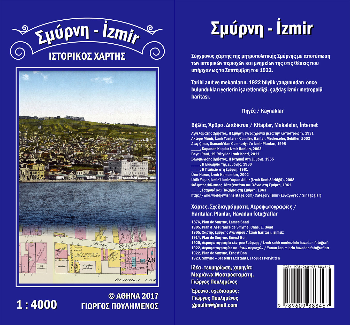
Smyrna-İzmir
Historical Map
At the end of 2016 I met Marianna Mastrostamati. During our discussions, I mentioned that I was drawing a map of Smyrna as it was before the 1922 Catastrophe, one that was finally published in the form of a Travellers Guide. It was a job that had already lasted six years and still needed some time to complete, since mapping the burned areas was extremely demanding.
Marianna was interested in the subject because she hoped that she would eventually undertake something similar, that is, contribute to the creation of such a map. But as my map was still not ready, she suggested that we construct another map, one much easier to draw, which would show modern Izmir, yet with all historical monuments marked on it, both existing and lost.
This is how the «Smyrna - İzmir Historical Map» began. Marianna helped with her ideas, research and sponsoring of its publication, which took place in the spring of 2017.